Temperatures spike as rain chances dry up and summer weather takes over starting Sunday
Our wet and rainy streak is coming to an end tonight as we transition into a period of hot and sunny weather for the next week moving into the middle of June
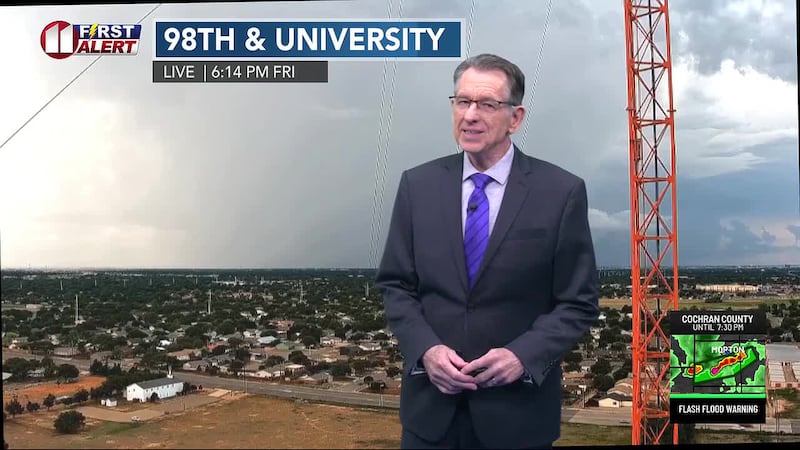
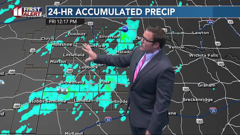
LUBBOCK, Texas (KCBD) - Drought-denting rain has impacted many in the South Plains today and over the course of the past several days.

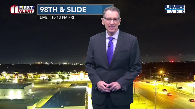
Unfortunately, we’re seeing the end of that wet streak arrive as our rain chances dry up tonight and move on starting tomorrow.
TONIGHT
A few lingering showers could persist until around midnight as the low-pressure system associated with the rain today continues to move further to the northeast.

Temperatures will stay mild in the 60s overnight with a light breeze of 5 to 10 mph.
SUNDAY
Gorgeous and sunny! High temperatures will jump more than 10 degrees from Saturday’s highs in the upper 70s and lower 80s as we get back to the mid 90s for most this afternoon.

I don’t think we’ll see much in the way of cloud cover most of the day so grab the sunscreen if you’re heading out the door!
EXTENDED WEATHER PATTERN
High pressure begins to take over starting Sunday as high temperatures climb into the 90s for most of the area.

We’ll see some variation of low, mid and high 90s for most of next week with likely a few 100s mixed in there as well at times.

I expect the first half of the week to stay dry as we then introduce a light chance of some showers beginning Wednesday and continuing into next weekend.
Copyright 2026 KCBD. All rights reserved.